| A | B |
|---|
 | Click on this button to add an image overlay. |
 | Click on this button to add a new path. |
 | Click on this button to add a new placemartk. |
 | Click this button to draw a new polygon. |
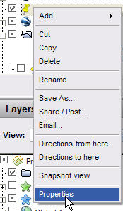 | Choose this right click menu to change what is inside a balloon. |
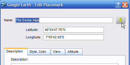 | If you want to change the icon of a placemark you click here. |
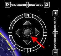 | Use this to navigate slowly in different directions. |
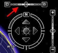
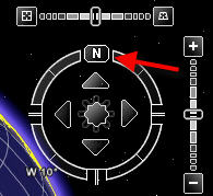 | If you want to change where North is, you use this navigation tool. |
 | If you want to explore the night sky, click this button. |
 | You use this tool to change the tilt of the land. |
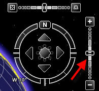 | This tool will zoom you in closer or zoom you out farther. |
 | If you want to measure the distance between places you would use this tool. |
The Search Panel, 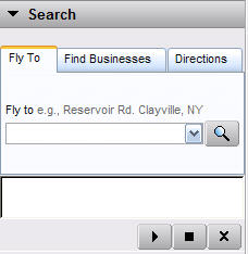 | If you wanted to find a place in the world, you would use the field in this panel. |
The Layers Panel, 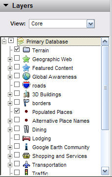 | You would look through the items in this panel to add all sorts of information to the world. |
The Places Panel, 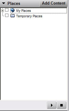 | When you add a placemark, it is stored in this panel. |
View menu,  | Which menu would you use if you wanted to see the Longitude and Latitude grid? |
| Add menu, | If you wanted to put a 3D model that you made in SketchUp into Google Earth, which menu would you use? |
| File menu, | What menu would you use if you wanted to print a screenshot of the place you were looking at? |
