| A | B |
|---|
| compass rose | a figure displaying the orientation of the cardinal directions, north, south, east and west on a map, 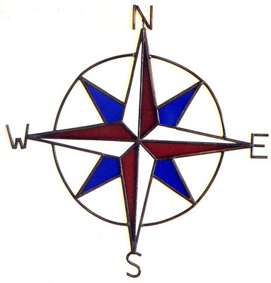 |
| cardinal directions | north, south, east, and west |
| latitude | an imaginary line around Earth parallel to the equator, 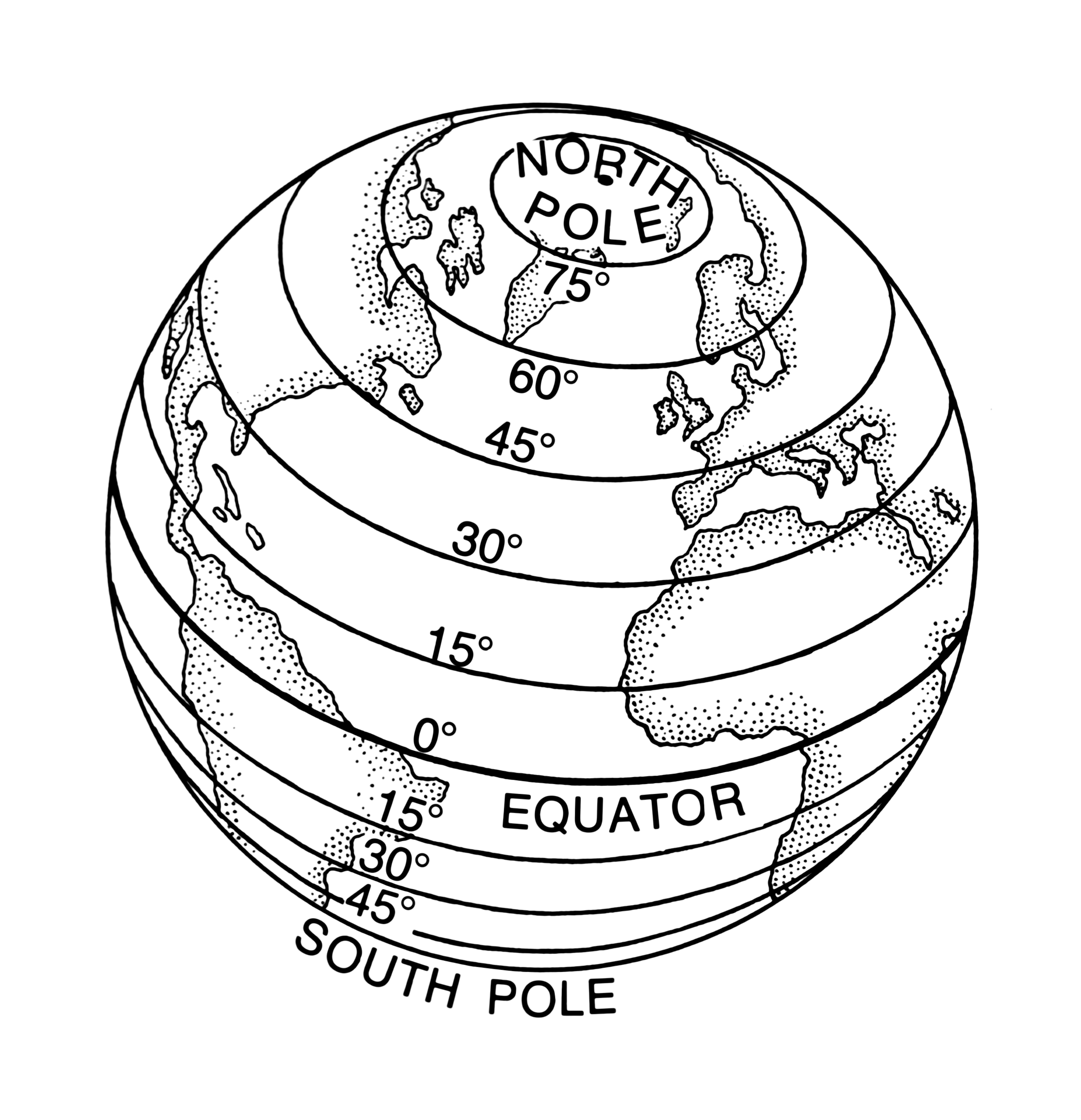 |
| longitude | an imaginary line around Earth parallel to the Prime Meridian, 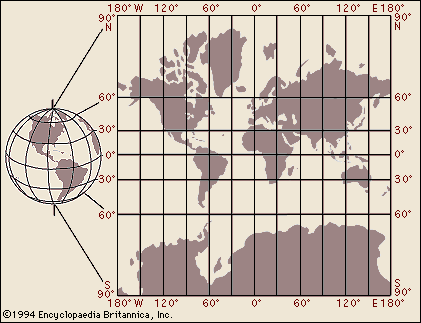 |
| grid | vertical and horizontal lines on a map usually labeled with a letter and number,  |
| legend | explains what symbols mean on a map, 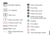 |
| scale | relates miles/km to inches/cm to estimate distance on a map, 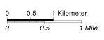 |
| locator inset | shows where a place might be located on a globe, 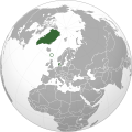 |
| mercator projection | map of the globe stretched out on a flat surface; shape and direction true but size of land and distance is distorted, 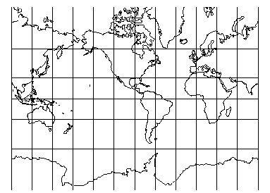 |
| robinson projection | map of the globe is rounded as a globe; land size is true, but shapes can be distorted, 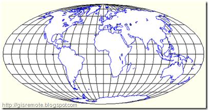 |
| interrupted projection | map of the globe is split up to show many sides; shapes and sizes are true, distance and direction can be distorted, 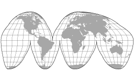 |
| equidistant projection | globe is turned to focus on a certain point, like the North or South pole; you can't see everything, and shapes and sizes are distorted the further from the central point you get, 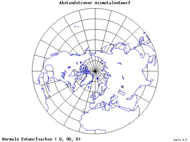 |
| Inset | a small map within a larger one, 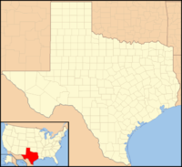 |
| projection | a map showing earth’s surface |