| A | B |
|---|
| the north-south and east-west lines that cross each other to form a pattern of squares | grid |
an imaginary line around the Earth forming the great circle that is equidistant from the north and south poles; "the equator is the boundary, 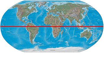 | equator |
the imaginary lines that run from North to South on a map or globe? They are found east and west of the Prime Meridian, 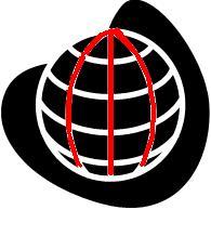 | longitude lines |
the imaginary lines that run from East to West on a map or globe? They are found north and south of the equator, 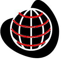 | latitude lines |
| The art or technique of making maps or charts. A cartographer is a person who makes maps | cartography |
| defined as the distance either above or below a reference point | altitude |
| Having a shared boundary; being immediately adjacent. Example: contiguous United States; states physically located next to one another | contiguous |
| this is a set of numbers that describe a precise position. A precise position along a line, on a surface, or, in space, is measured, described and referenced in the form of a coordinate | coordinate |
| Germany | Home of Gutenberg's Printing Press, Martin Luther, and the Reformaion |
| Turkey | At one point in history was the Ottoman Empire and controled Middle Eastern trade routes, and considered the 'enemy' of Christendom during the Renaissance |
| Peru | On the the Equator of South America and the place where the battle of Cajamarca took place |
| Portugese | The dominant European colonial empire in early days of colonialism--its experienced sailors began the Age of Exploration |
| Spainish | Other Dominant empire that had its rise during the Age of Exploration, an eventually surpassed Portugal as colonial power,  |
| All these navigational tools were invented during the Age of Exploration: | the Compass, The Quadrant, the Astrolabe, the Cross Staff, and the Dipping Needle, 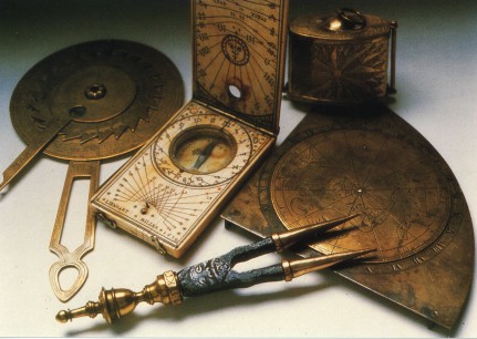 |
| The Cross Staff | Allowed sailors to determined their latitude, 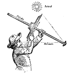 |
| Astrolabe | an invention that allowed sailors to determine altituden, 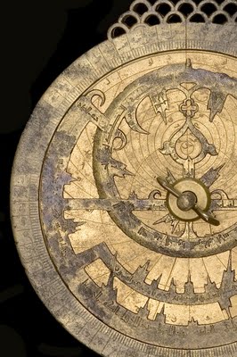 |
| The Quadrant | An invention that also helped sailors determine the altitude that evolved from the Astrolabe, 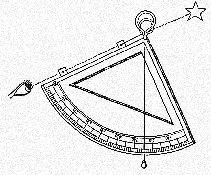 |
| The Rennaisance | Both the Reformation and the Age of Exploration were a part of this period in history; the time period took place between 1450 through the 1680, mid 15th Century to the late 17th Century, 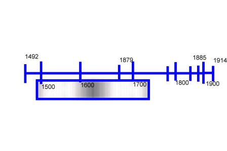 |
| Caravel | A caravel is a small, highly maneuverable, two- or three-masted lateen-rigged ship, created by the Portuguese and used by them as well as by the Spanish for long voyages of exploration from the 15th century., 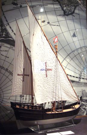 |
