| A | B |
|---|
| Elevation | vertical distance from sea level to a point on Earth's surface, 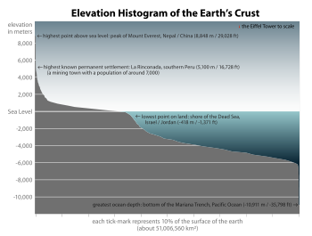 |
| Monsoon | Seasonal winds and rains in South Asia,  |
| Troposphere | Layer of atmosphere closest to Earth,  |
| Canal | man-made waterway for navigation or irrigation, 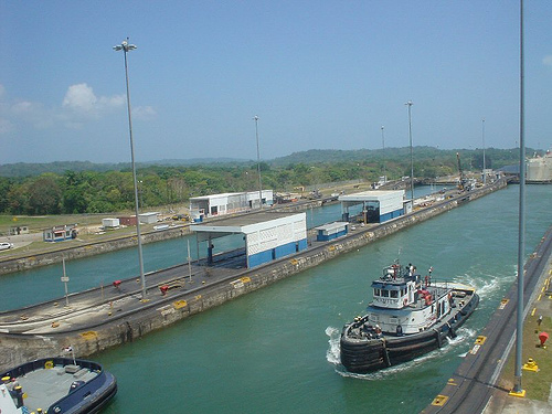 |
| Moraine | rocks and soil deposited by glaciers,  |
| Horizon | line where land and sky appear to meet, 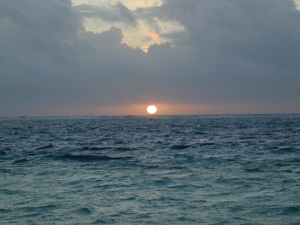 |
| Tsunami | wave created by undersea earthquake, 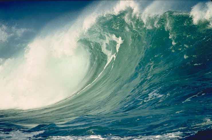 |
| Mantle | layer of Earth between core and crust, 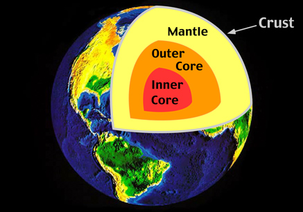 |
| Archipelago | a group of islands, 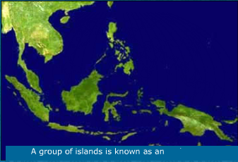 |
| Canopy | leafy layer of treetops in forests,  |
| Trench | long, deep depression in ocean floor, 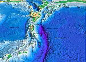 |
| Avalanche | mass of snow, ice, earth, and rock sliding down a mountain, 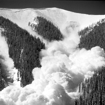 |
| Oasis | water source in desert supporting vegetation, 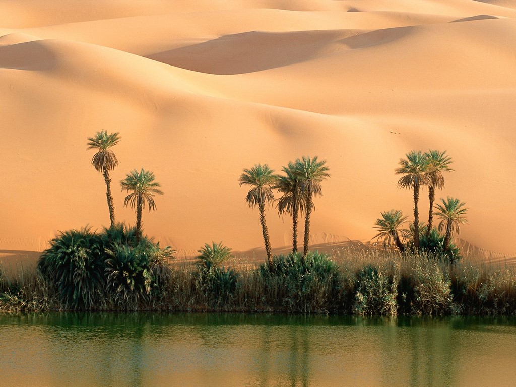 |
| Delta | landform of deposited sediments where a river enters a larger body of water, 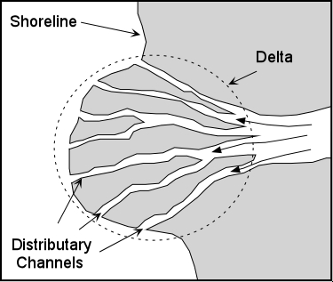 |
| Erosion | wearing away the surface of the land, 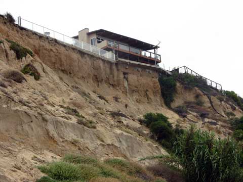 |
| Lava | molten rock erupting from volcanoes, or surface formed after rock cools, 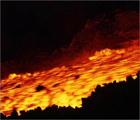 |
| Current | water flowing in one direction, 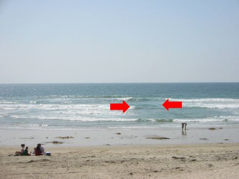 |
| Frost | thin layer of ice crystals, 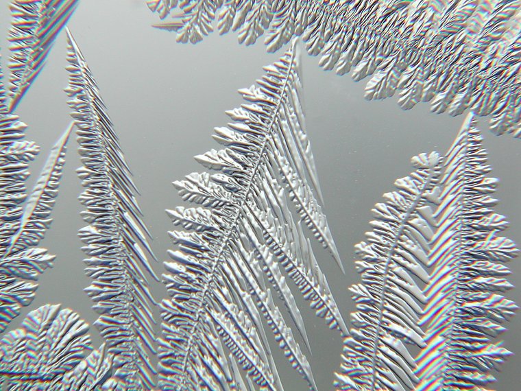 |
| Butte | tall, steep-sided tower of rock, 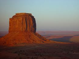 |
| Fault | area of fractured rock where Earth forces trigger earthquakes, 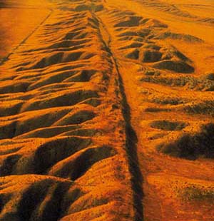 |
| Tributary | stream feeding a larger stream or river,  |
| Climate | average weather conditions over time, 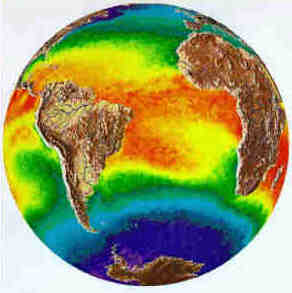 |
| Gorge | land feature defined by steep, rocky walls, 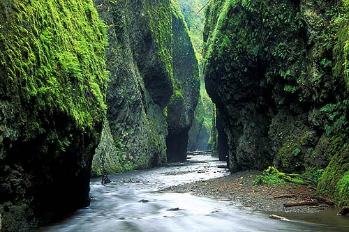 |
| Bedrock | solid rock under a later of soil,  |
| Equinox | the day the Sun's rays shine vertically on the equator, 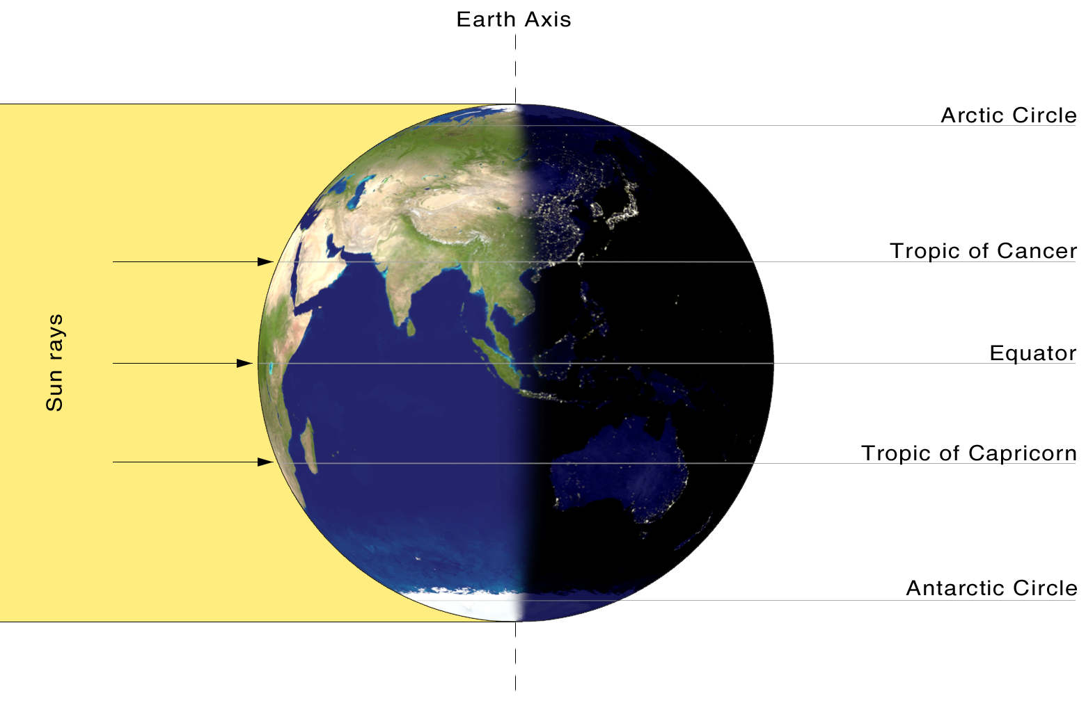 |
| Solstice | the day the Sun's rays shine vertically over the Tropic lines of Cancer or Capricorn, 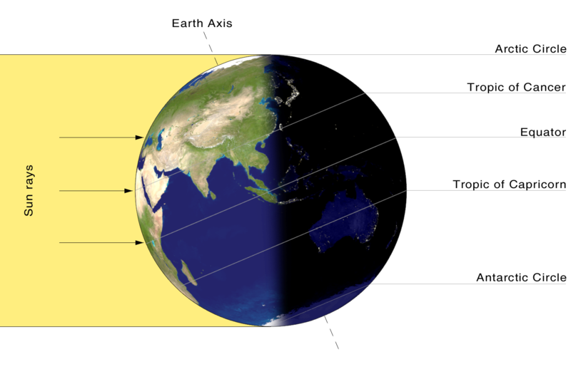 |
| Humidity | measure of water vapor in the air,  |
| Bog | wet area with ground cover of decaying plant matter, 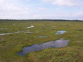 |
| Isthmus | narrow strip of land connecting two larger landmasses, 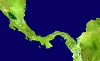 |
| Peninsula | land bordered by water on three sides,  |
| Island | land (smaller than a continent) surrounded by water,  |
| Continent | one of seven large landmasses on Earth, 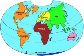 |
| Ocean | large body of salt water, 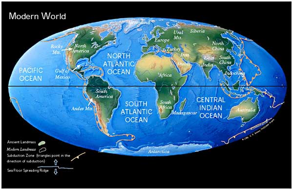 |
| Bathymetry | measurement of depth below sea level, 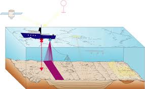 |
| Cartography | study and making of maps, 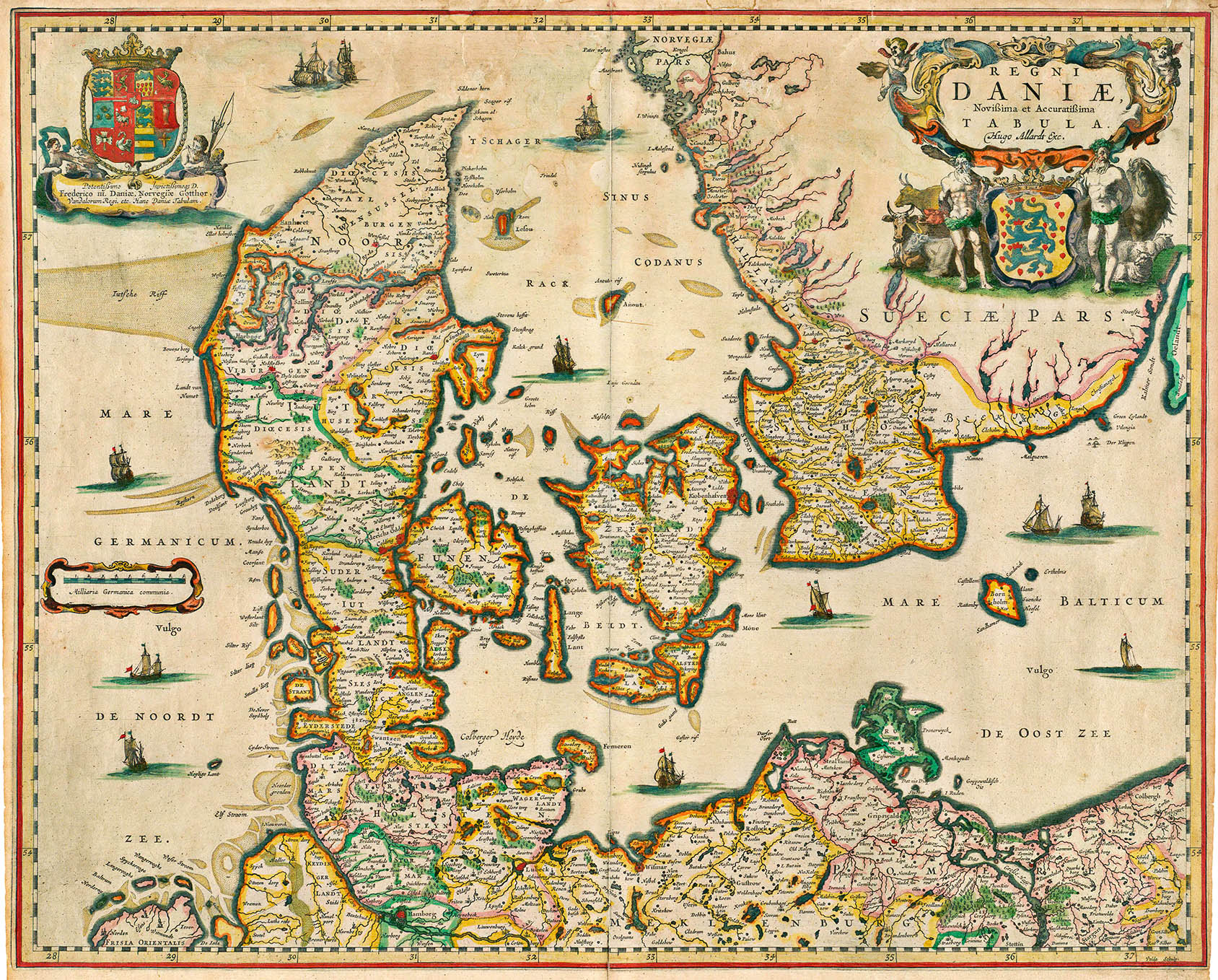 |
| Salt Marsh | sediments and plants in an intertidal zone of fresh and salt water,  |
| Dune | hill of sand formed by wind, 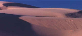 |
| Reef | underwater structure created by colonies of coral, 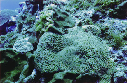 |
| Atoll | ring of coral islands encircling a lagoon, 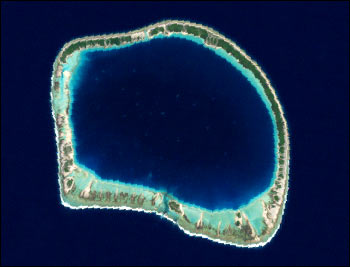 |
| Fjord | long, narrow inlet with steep sides created by glacial activity, 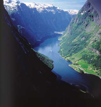 |
| Volcano | vent in Earth's surface from which lava, gas, and ash are released, 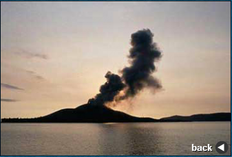 |
| Plateau | raised, flat stretch of land with steep slopes at the edges, 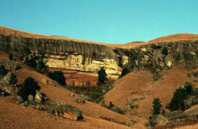 |
| Glacier | rivers of ice formed from snow that melts and refreezes, 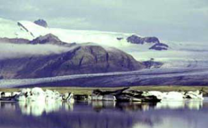 |
| Mountain | Landform rising higher than surrounding land, 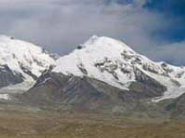 |
| Valley | long stretch of lower land between hills or mountains, 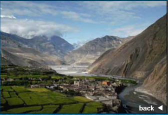 |
| Plain | Large area with little change in elevation, 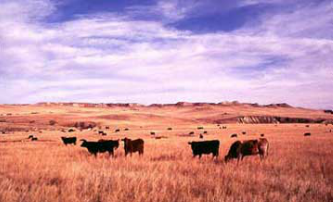 |
