| A | B |
|---|
| P-Waves | The first wave that is recorded on a seismograph, 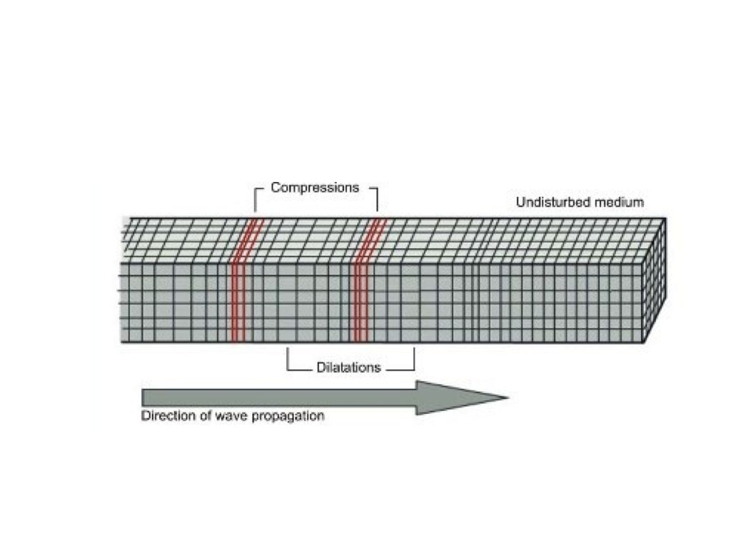 |
| S-Waves | Do not travel through the Earth's core |
| Lithosphere | The crust and upper-most solid part of the mantle which are pushed and pulled through plate tectonics. |
| Oceanic crust | The denser, thinner layer of the lithosphere which slides down during subduction. Example: basalt. |
| Continental crust | The less dense, thicker part of the lithosphere that slides on top during subduction. Example: granite. |
| Contour Lines | Show elevation on a topographic map |
| Isolines | A line on a map, graph or chart showing points of equal value. |
| Gradient | The change in value over distance |
| Profile | side view of a topographic map |
| Dendritic | 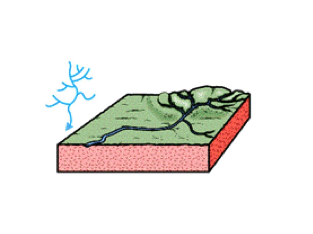 |
| Rectangular | 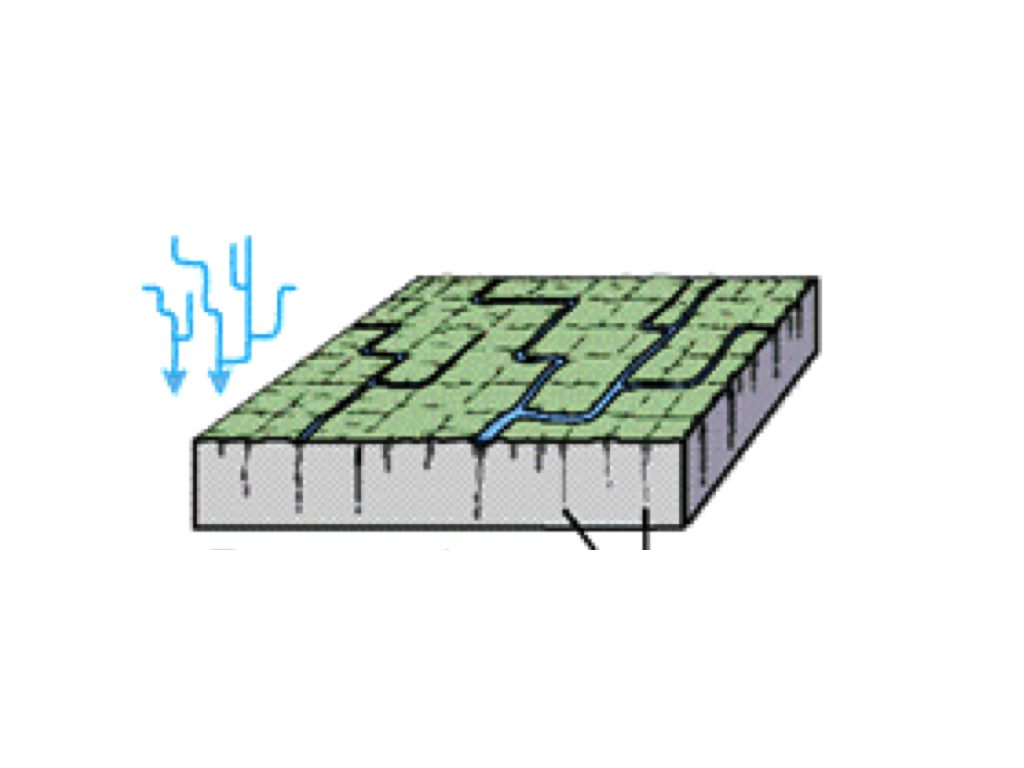 |
| Radial | 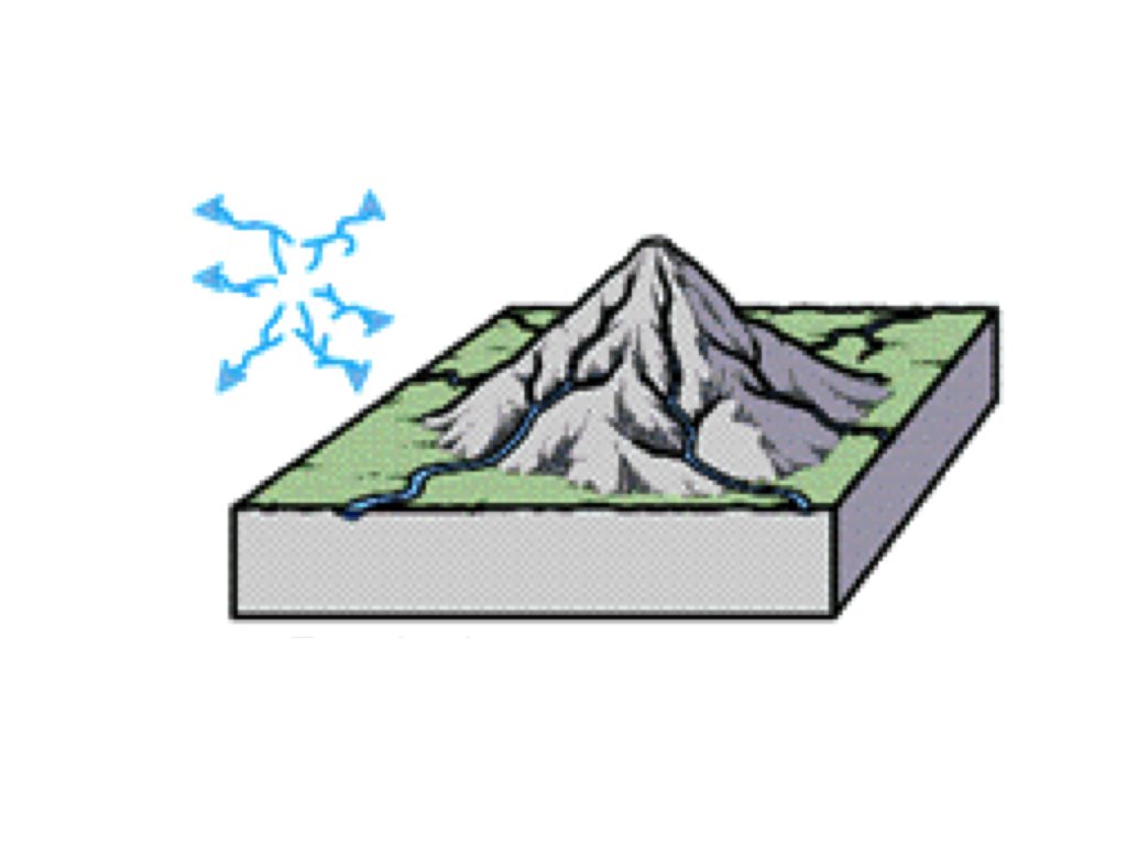 |
| Trellis | 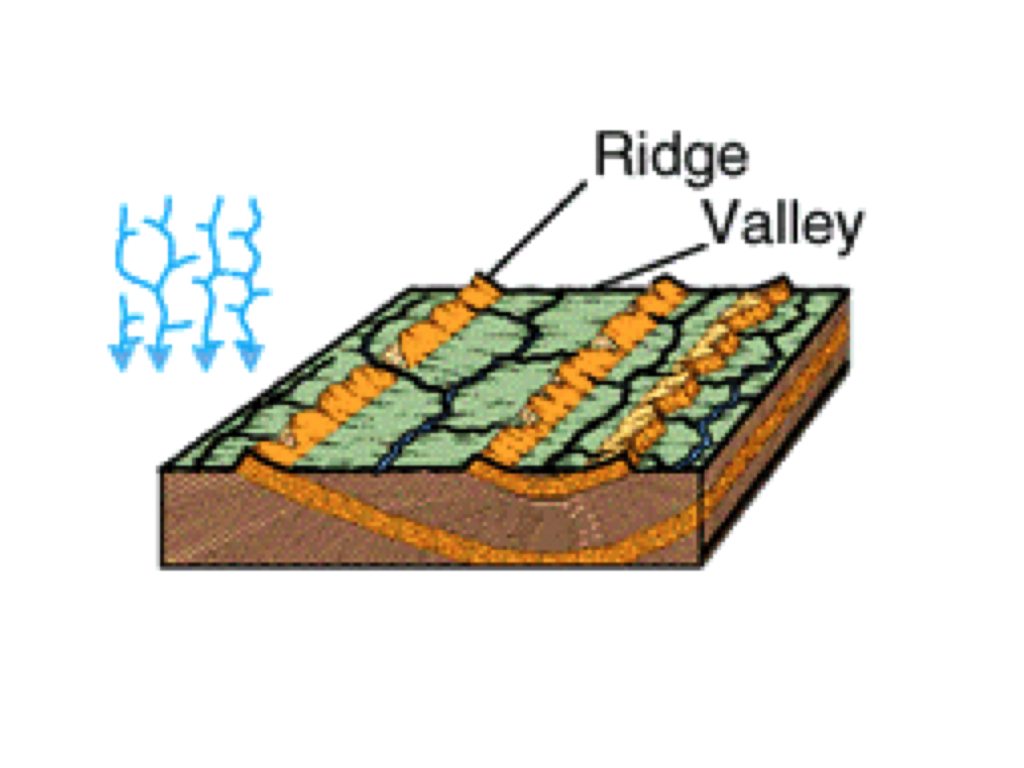 |
| The part of a river that has more erosion. | 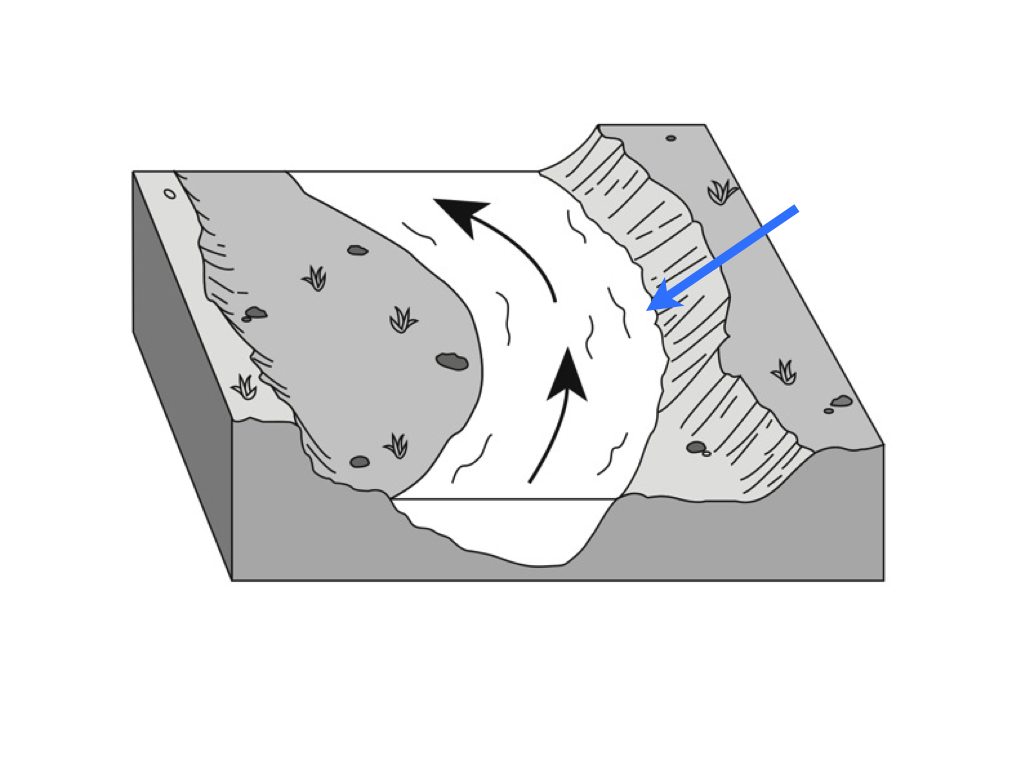 |
| The part of a river that moves the slowest. | 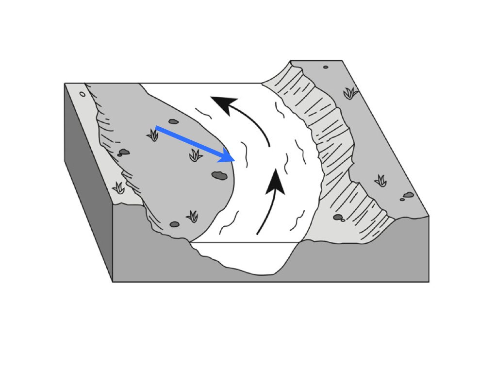 |
| Delta | The triangle shape at the end of a river |
| Meander | The curve in a river |
| V-shaped Valley | Formed by a river cutting in to land |
| U-shaped Valley | Formed by a glacier pushing through land |
| Finger Lakes | 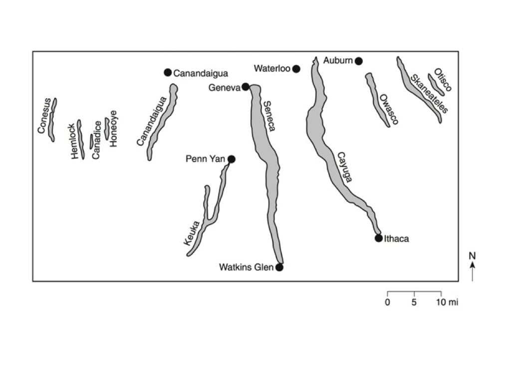 |
| Moraine | A hill of unsorted sediment pushed by a glacier, 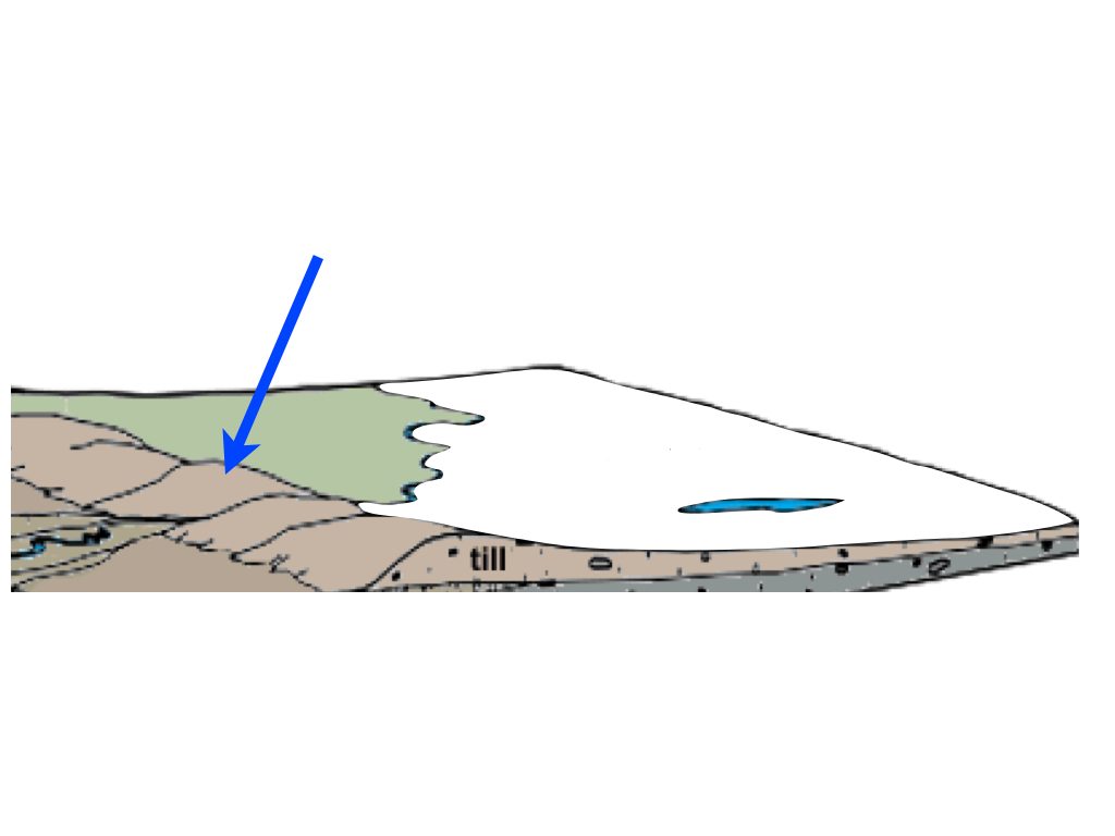 |
| Drumlin | 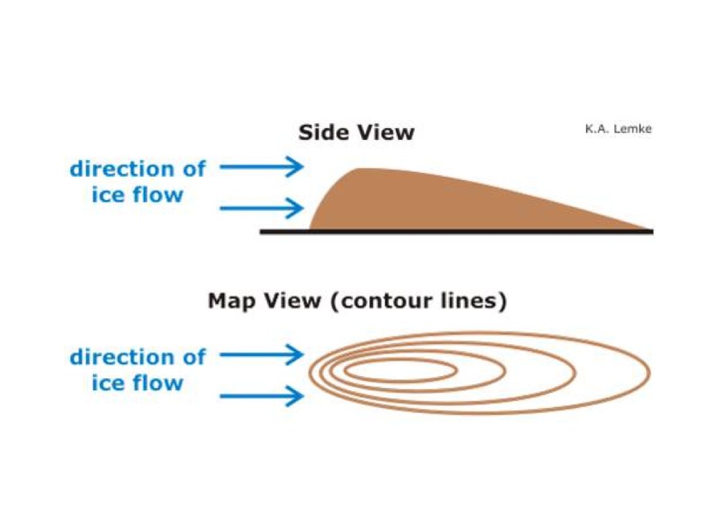 |
| Kettle Lake |  |
| Outwash Plain | Sorted sediment from melted glacial water, 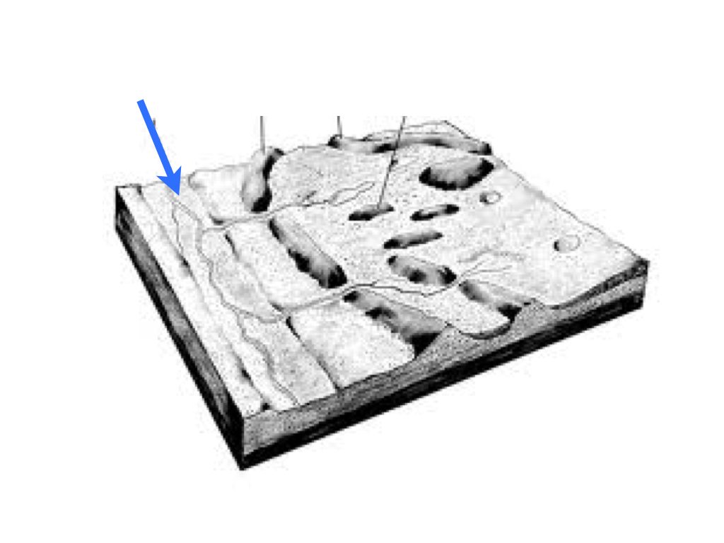 |
| Till | Unsorted sediment from a glacier |
| Mass movement | When earth moves downslope due to gravity |
| Capillarity | The ability to retain water. The smaller the particles, the higher the capillarity |
| Porosity | The amount of pore space between particles. Well-sorted sediments have higher porosity. |
| Permeability | The ability for water to pass through sediments. Large pore spaces have higher permeability. |
